

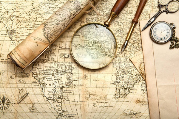
One of the fundamental aspects of cartography is the representation of spatial information. Cartographers use symbols, colors, and scales to convey complex data in an easily digestible format. This visual language allows individuals to understand geographic relationships and patterns that may not be immediately apparent through text alone. A well-designed map can highlight important features such as topography, population density, and resource distribution, making it an invaluable resource for decision-makers and researchers alike.
In recent years, the rise of Geographic Information Systems has transformed the field of cartography. These advanced tools allow for the integration of various data sources, enabling cartographers to create dynamic and interactive maps. Users can manipulate data layers to visualize different scenarios, which is particularly useful for urban planning and environmental management. For example, city planners can use GIS to assess the impact of proposed developments on traffic patterns and green spaces, ultimately leading to more informed decisions.
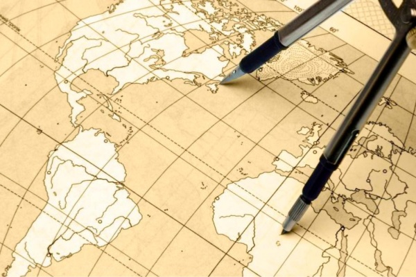
Another important consideration in cartography is the concept of map projection. Since the Earth is a three-dimensional sphere, translating its surface onto a two-dimensional plane presents unique challenges. Different map projections can distort size, shape, or distance, which can lead to misconceptions about geographic relationships. Understanding these distortions is essential for interpreting maps accurately. For instance, the Mercator projection, while useful for navigation, exaggerates the size of landmasses near the poles, making Greenland appear much larger than it actually is.
Cartography also plays a significant role in storytelling and cultural representation. Maps can reflect societal values and historical contexts, influencing how we understand our world. For instance, thematic maps that focus on social issues, such as income inequality or health disparities, can raise awareness and prompt discussions about important topics. By showcasing these issues visually, cartographers can engage audiences and inspire action.
As technology continues to evolve, so too does the field of cartography. The advent of mobile mapping applications and online mapping platforms has democratized access to geographic information. Individuals can now create and share their own maps, contributing to a collective understanding of local and global issues. This shift empowers communities to advocate for their needs and fosters a sense of ownership over their environments.
For those interested in exploring cartography further, there are numerous resources available, from online courses to workshops and conferences. Engaging with the cartographic community can provide valuable insights into current trends and best practices. Whether for professional development or personal interest, delving into the world of cartography offers a deeper understanding of how we interact with our planet and the importance of spatial awareness in our daily lives.
By appreciating the nuances of cartography, we can enhance our ability to interpret maps critically and recognize their impact on our understanding of the world. This knowledge not only enriches our personal experiences but also informs our decisions as global citizens in an increasingly interconnected society.